
Our Blog
#PhilipWeek Early work on the legionary fortress
Oct
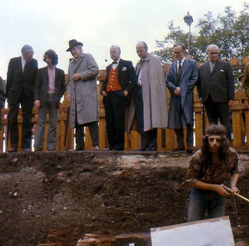
Today for #PhilipWeek we’re looking back at some of Philip’s earlier work in the city centre and discussing his work on the Legionary Fortress during the Lion Walk excavation in the early 1970’s!
What are your memories of working on the legionary fortress?
The Lion Walk excavations (1971-2) revealed the presence of some early walls belonging to what could only have been barrack blocks. Inevitably this raised the questions, “were these buildings parts of a legionary fortress which predated the Roman town and, if so, could the plan of the fortress be recovered?”.
I then spent several days in an upstairs room in one of the then empty terraced houses in Balkerne Lane. Initially, the plan was to carefully review the street plan for the Roman town as was understood at the time. This had been developed over a number of years as a result of the plotting of recorded street metalling around the town.
However, not all records are equal when it comes to location and direction – far from it. Inevitably, circumstances vary a lot as does the quality and reliability of those exposures particularly when it comes to direction. Thus the task was to take each record and plot the information on a 1:1250 OS map of Colchester town centre. Any features on the original site plan which might be located in relation to those features on the OS map were used to help fix or check the orientation or location. If, for example, a site plan had been made with new foundations marked on it (eg as was done and William and Griffin’s multi-storey park north of the High Street), these would be transferred on the OS map and would provide a check on the direction of any linear Roman features on that site! Likewise, if more than one exposure of a street was recorded, the alignment of that street would be examined and a best fit solution applied to any variations that were evident.
Once every exposure had been reviewed and if necessary replotted, the penultimate phase would start and that would be to determine the extent to which the streets were exactly parallel with each other. Where the overall alignment of the street was not close, could it be altered to make it parallel with its neighbours but still being faithful in terms of its latitude?
Once this minor tweaking is complete, the final task is to measure in terms of Roman feet (12 modern inches) the distances between all the north-south lines. By choosing the correct side of each street from which to take the measurement, these turn out to be 300, 300, 300, 200, 200 Roman feet measured from left to right.
It took me quite a while to do this in that room in Balkerne Lane but the effort was worth it. The round figures all appeared as if at once! I was amazed and surprised at such a good and unexpected result. I remember hopping from side to side as a kind of subconscious displacement activity. Basically I was supercharged with excitement and frustrated that there was no one around to share the discovery. Sad behaviour I know but that’s archaeologists for you!
Later I started looking in the same way at other legionary fortresses in Britain with the same sort of result. An even bigger bonus came from the now obvious conclusion that Roman Colchester and all the other former legionary fortresses in Britain were themselves in fact not brand new Roman towns but redundant legionary fortresses adapted and reused.
